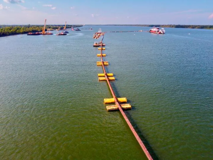
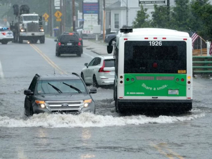
As drought tightens its grip in the Central US and water levels on the Mississippi River plummet to near-record lows, a surge of saltwater from the Gulf of Mexico is pushing upstream, polluting drinking water for thousands of residents south of New Orleans.
With little prospect of rain in the future, officials are working to find solutions before the saltwater infiltrates treatment plants that serve tens of thousands more residents, including New Orleans.
Louisiana Gov. John Bel Edwards on Monday requested a federal emergency declaration for four Louisiana parishes: Plaquemines, St. Bernard, Jefferson and Orleans.
"With the current projections, it should be noted that almost 20% of the state could be impacted by this event," Edwards said in the request, predicting saltwater could impact the state until January.
Here's what to know about the saltwater intrusion.
What is the saltwater wedge, and where is it located?
The Mississippi River's enormous flow rate is usually enough to keep water from the Gulf of Mexico out. But when the river is running low, saltwater can creep into it.
The saltwater wedge starts at the mouth of the river and moves upstream. Because saltwater is more dense than freshwater, it takes the shape of a wedge: The leading edge is at the bottom of the riverbed — the so-called toe of the wedge — and extends back toward the ocean.
The US Army Corps of Engineers has been tracking the location of the wedge toe, which as of September 24 was at river mile 69.3, around six miles downstream from Belle Chasse, and 26 miles downstream from the Algiers water treatment plant in New Orleans.
Anywhere from 15 to 25 miles downstream from the toe, water at the surface of the river has been inundated with saltwater — the salt content in the surface water is higher than the Environmental Protection Agency public water supply standard.
Why is this happening?
In short, there's not enough freshwater flowing down the Mississippi River after months of extreme heat and low rainfall.
Exceptional drought -- the worst category -- has spread across parts of Louisiana and Mississippi. This year has so far been the hottest on record for both states, according to recent figures from NOAA dating through August.
Extreme drought is also present upstream, where a lot of the river's water originates: Minnesota, Wisconsin, Iowa and Missouri, according to the US Drought Monitor.
What happens upstream affects the flow rate at the mouth of the Mississippi River. The flow rate there needs to be above 300,000 cubic feet per second to keep the saltwater at bay, said Col. Cullen Jones, commander of the Corps' New Orleans office. Recently, the flow rate at Belle Chasse, Louisiana — just south of New Orleans — has been just half that, at around 150,000 cubic feet per second, according to data from the US Geological Survey.
How far up the river will the saltwater get, and when?
Current estimates from the Army Corps predict unsafe, salty water could travel another 50 miles upstream through the end of October, potentially affecting the water supply of four parishes and more than 80,000 people.
Three water intakes serving Plaquemines Parish are already inundated and two more are threatened in the coming weeks: the Belle Chase facility on October 13 and the Dalcour facility on October 15.
Together, these facilities produce 11.5 million gallons of water a day and serve over 23,000 people, according to information released by Plaquemines Parish.
Water could become inundated with salt in St. Bernard Parish on October 19, parts of Orleans Parish on October 22 and in parts of Jefferson Parish on October 25, according to the Army Corps.
The estimated inundation date for any given point doesn't necessarily mean the water coming out of the tap will be unsafe to drink or use on that date. Notices on water safety would come from local officials.
The timeline could change based on a number of hard-to-predict factors, including delays in construction of a higher underwater levee to slow the saltwater wedge, or river-boosting rain upstream.
State officials believe the saltwater intrusion could last until January 2024, according to Edwards' federal emergency request. It's unclear how far up the river the saltwater wedge could travel during that time.
Is New Orleans drinking water at risk?
Water in the city of New Orleans is currently safe to drink.
"Water in Orleans Parish remains safe to drink and use for all purposes," a recent city news release said. "The most important thing for residents at this time is to stay informed and remain calm. As we continue monitoring this situation, we will communicate all necessary information to residents as it becomes available."
The city's water is at risk in mid-to-late October, which is when the Army Corps expects the New Orleans Algiers water treatment facility serving the city's West Bank to be inundated. The New Orleans Carrollton facility, which produces 135 million gallons of water a day and serves the majority of the city, could be at risk in late October.
Water is also currently safe to drink in St. Bernard and Jefferson parishes, parish officials said.
What is being done to solve the problem?
An underwater levee
A 1,500 foot wide underwater levee, or sill, was constructed on the riverbed by the Army Corps in July after saltwater began affecting drinking water in southern Plaquemines Parish. The 55-foot barrier, which was intended to prevent saltwater from moving farther upstream, was installed around 10 miles downstream from Belle Chasse.
But saltwater overtopped the levee on September 20 and continued to move upstream.
The Army Corps is now making the levee 25 feet taller, which it says will slow the saltwater's advance. Its timeline for saltwater inundation assumes the higher levee is complete.
It will take roughly two weeks to complete construction on the underwater levee, which will have a notch in it to allow large ships to pass through.
"This isn't something that happens frequently, certainly not to this extent," Sarah Stone, a civil engineer with the Army Corps told CNN. "Historically, the sill is built every 10 years. We're doing it twice in eight months."
Reverse osmosis units
Plaquemines Parish has relied heavily on bottled water to replace disruptions to drinking water since June.
More help is coming soon to the parish in the form of a reverse osmosis water purification unit that can filter saltwater and produce safe drinking water.
One such osmosis unit is headed to Point a la Hache, in Plaquemines Parish, this week, and the Army Corps hopes to have it operational by next week, Stone told CNN. Plaquemines is trying to acquire additional osmosis units for the Boothville, Port Sulphur and Belle Chase water treatment plants. Units have also been requested for St. Bernard, Orleans and Jefferson Parishes, according the governor's disaster request.
Barging millions of gallons of freshwater
Given the scarcity of the reverse osmosis machines -- and their limited ability to filter high volumes of water -- the Army Corps announced plans to distribute up to 36 million gallons of freshwater a day with a fleet of barges. It will be delivered to treatment facilities between Boothville and Gretna and mixed with the salty water to reduce the salt content to safe drinking levels, officials with the state and Army Corps told CNN.
State and Army Corps officials told CNN that the 36 million gallon number could change as osmosis units and other methods help reduce demand or as salinity increases in the water over time, requiring more water to mix.
Barges will range in volume from 250,000 gallons to 1,000,00 gallons, Army Corps spokespeople told CNN.
The barging has not begun, Army Corps and state officials told CNN. The Army Corps has identified a contractor to distribute the water and is working to distribute an initial batch of 15 millions gallons of water a day, Roe told CNN.
The Army Corps "fully anticipates the capability to meet the need of up to 36 million gallons per day that could be required," Roe told CNN. "Details about the execution of this process are still ongoing and will be available when finalized."


